Description
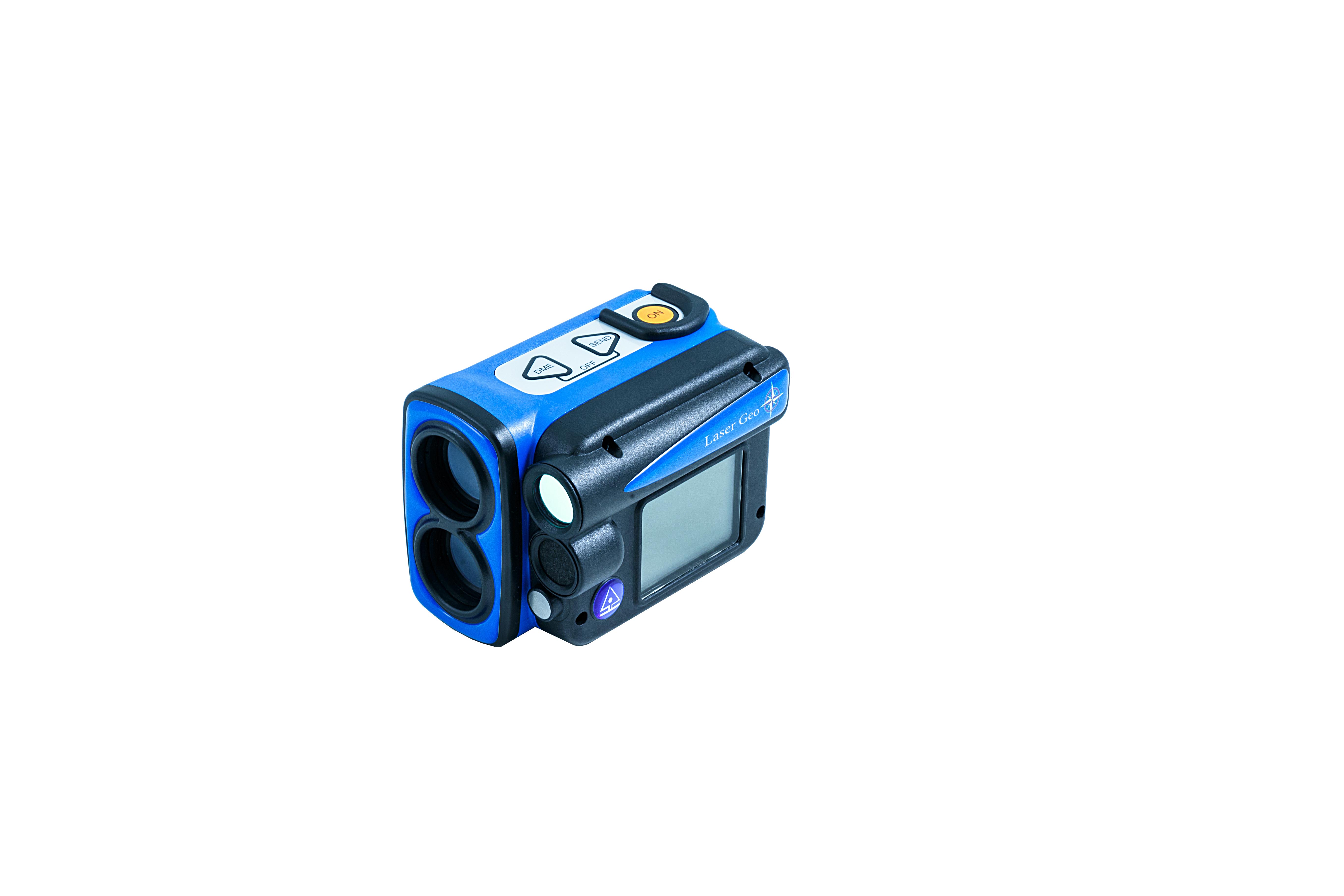
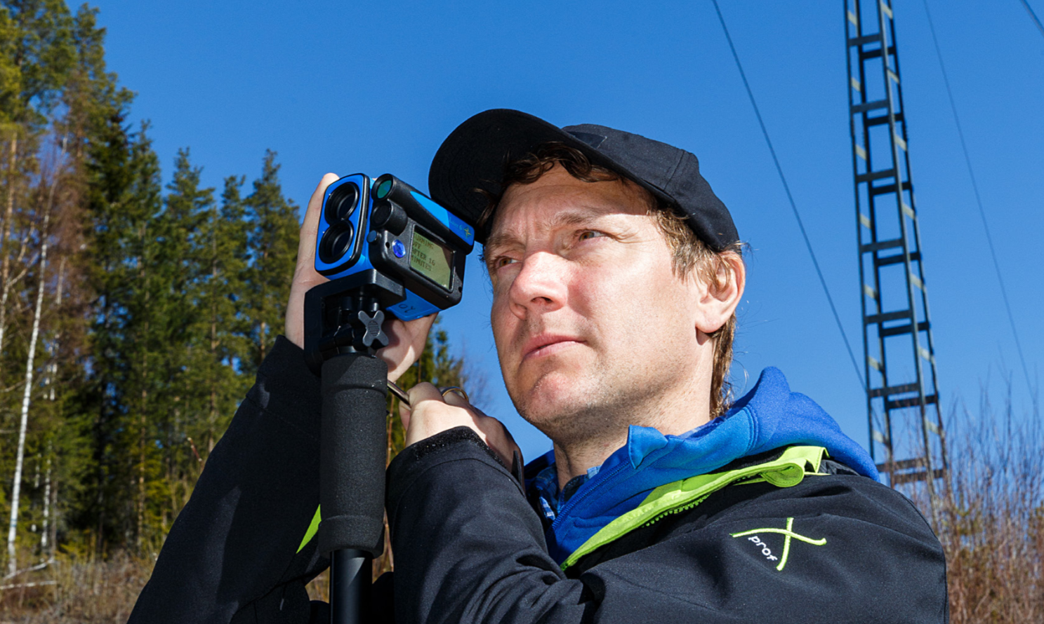
The Laser Geo instrument is especially adapted for long-range measurement in open areas. It measures distances from approx. 0.5m/1.5ft up to 700 meters/2300ft with high accuracy and reliability. The L5 instrument will be useful in many professions and work areas, for example, forestry, survey, utility industry, control work and accident prevention.
A laser filter allows for flexible measuring, where you can select to measure the closest object, the farthest object or the object that submits the strongest signal. Includes heads- up display where results from your measurements are displayed in real-time and full USB connection for data transfer and customization of the firmware.
The Laser Geo has a built-in Li-Ion rechargeable battery. An illuminated adjustable sighting cross improves sighting and spotting of individual lines and other objects.
The instrument is rugged with reinforced housing and display, water-resistant, has a user-friendly interface, fully integrated technology, and a built-in mounting point for camera- type monopod if a steadier aim is required for long-range measurements.
Features:
- Complete, compatible and communicative instrument systems for various measurement applications in forest and field.
- Long-range measurement with a high-quality precision laser.
- Measure, map, process, and store in the instrument.
- Built-in GPS and 5-position numeric ID attribute to tag important data with coordinates.
- Built-in compass sensor allowing for accurate 3D measurements.
- USB 2.0/SSD Disk, connectivity to any PC/Apple computer.
- Excellent customization possibilities.
- Reinforced, shock- and drop proof, brightly colored instruments.
- Angle compensated/horizontal distance value and tilt sensor.
- Bluetooth®, IR and USB 2.0.
- Heads-up display and external graphic display.
- Non-magnifying red dot aims for easy spotting of treetops.
- Adjustable laser filter: closest-farthest-strongest.
- Rechargeable built-in Li-Ion battery.
- Easy operation field adapted keypad and step-through menu.
- Perfect for wood and timber industry, utility applications, mapping…
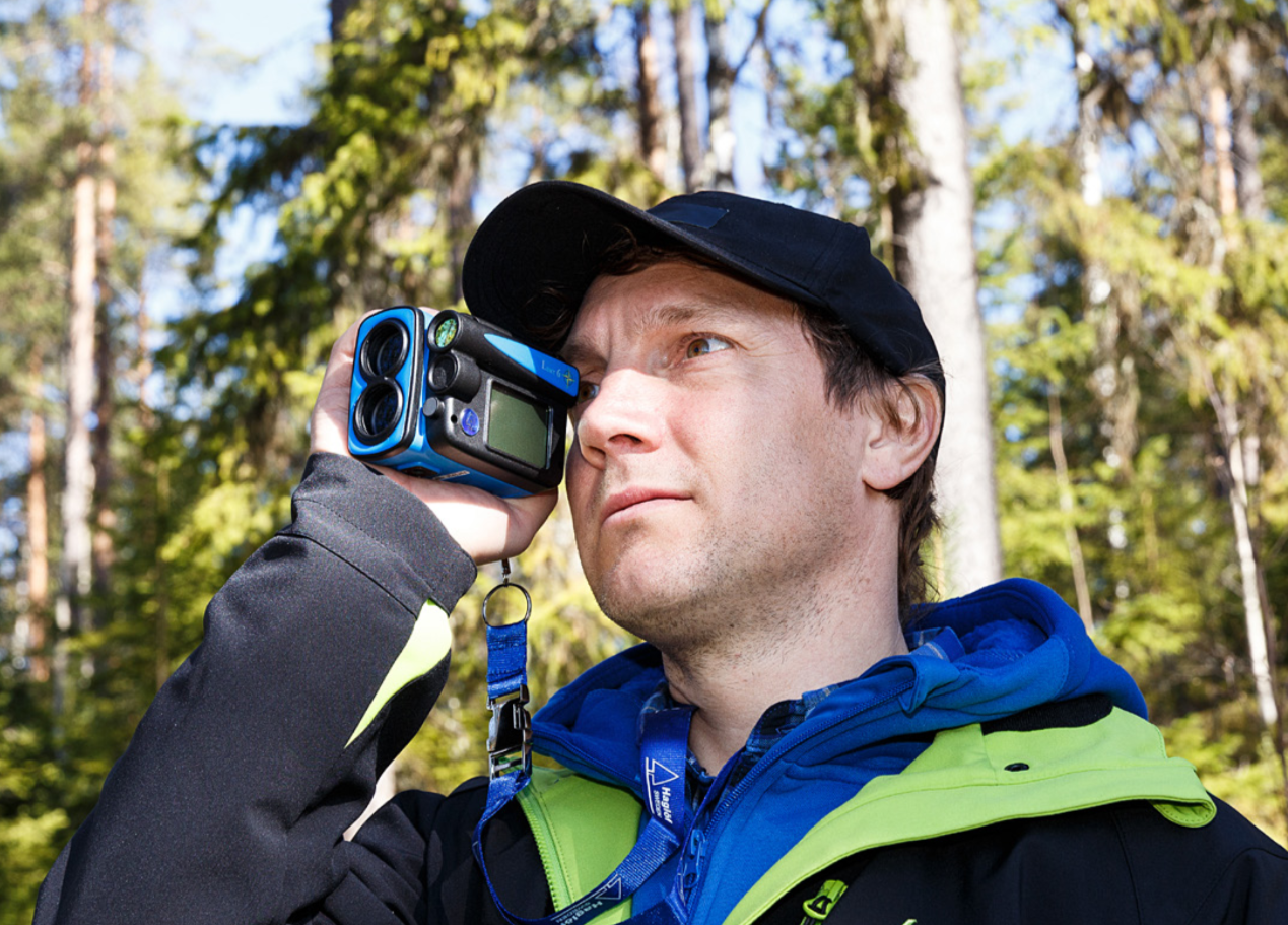
Long-range measurement with high precision laser and integrated tilt- and compass sensors for accurate 3D measurements. Results are presented in an integrated heads-up display and external, graphic display.
GPS and Mapping:
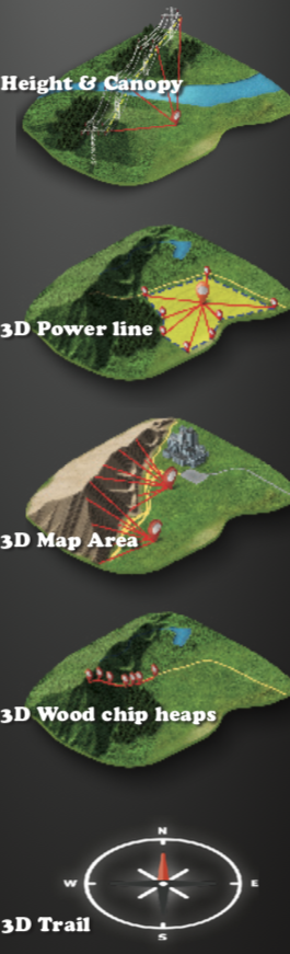
The built-in GPS-receiver and a 5-position numeric ID-attribute allow you to tag important data with coordinates with a simple key press. Your data is stored on a built-in SSD drive and immediately available for further processing when connecting a standard USB 2.0 interface to any PC or Apple computer. No installation routines, converting software or special drivers are needed. Your field data can be opened straight in your favorite GIS- or spreadsheet application. Complex operations such as area measurement, 3D mapping of targets and Trail mapping have integrated functions that also are available to you without any external tools. The 3D Vector function allows you to measure horizontal targets such as canopy width.
Heights:
3-point, 2-point or 1-point or direct measuring – choose the preferred method to work within the easy-to-follow menu system. A non-magnification dot sight helps you to identify individual targets such as treetops and power lines.
Upgrades and customizations:
New functions can be implemented and alternative firmware’s for user-specified utilization standard applications can be offered to you. Contact us for details and offer!
Communication and energy
The built-in Bluetooth V4 Low Energy transceiver enables long-range wireless data transfer to your favorite handheld device. The instruments have built-in, long-lasting Li-Ion battery and charging is made with a micro USB interface.